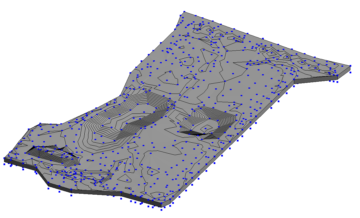
Hi! I have a CAD survey I want to extract points from to add to my Toposolid. Unfortunately it is flat and the points are just an X of 2 intersecting lines with the elevations in text next to them. Getting the point from the intersection is easy enough, but now I need to get the text value adjacent to it and add that to the Z coordinate of the points.
If I create a circle from the points with a radius that intersects the text, I could hopefully intersect them somehow and get the value for the corresponding point that way?
Thanks for any pointers.
Adding topo points from a flattened CAD import. The elevations are in CAD text only. No Z elevations
Ok. I’ve figured out how to get the points from the text locations themselves, and offset those points up in z by the value of the string. They’re not exactly at the same location as the x’s, but close enough for right now.
But here’s the kicker. I’m in Revit 2024… and Dynamo doesn’t appear to have nodes for Toposolids yet… What am I missing? I’ve got my points but can’t use them?
Now I’m trying to export these points to excel or a CSV to model the topo that way. The “String to Number” node throws out a bogus error since points are still showing up and getting translated to the correct elevation. However the Data Export to Excel fails completely. I can’t get these damn point coordinates out.
Can someone please help? I can’t find a reason for this.
Thanks.
Can you see this
And if have you cad
Can you use lisp
Thanks! That’s very helpful. But I’ve moved away from trying to do the circle text intersection thing. I just need to get this thing done and export the points I have. My last post is about just getting the points exported to CSV or Excel so I can import them to a Revit toposolid. But even that is giving me issues.
Oh… mygod. Ok. Got it working finally. The OOTB export to excel node is geborked. Use the Data.OpenXML.ExportExcel one instead. Also make sure that there aren’t “quotes” in your filename from when you used “copy as path”…
BTW, the “String Remove” is to get rid of the apostrophe in the Text elevations. Like 24.5’ . They need to be converted from Strings to Numbers and that screws that node up.
I’ll figure out how to match the text points to the X’s later. This is good enuf for now.


