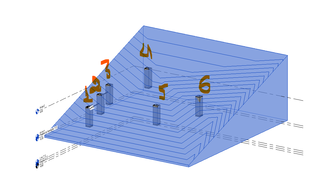
I have this topographical solid with some hydrosanitary parts housed in it in different places.
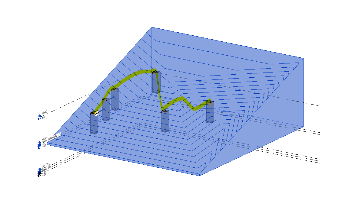
my goal with dynamo is to create a line based on the selection order of the hydrosanitary parts as shown in the image below:
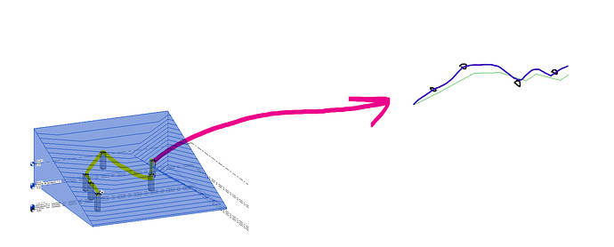
I manage to project the lines, but something strange happens, the lines do not have the same levels as the hydrosanitary parts should have, in the projected line on the side there is a position divergence
my goal is that I can create a polyline in the same way as the polyline following the terrain in blue where the black circles are the heights of the hydrosanitary parts, however I can either make a polyline that only follows the elevations of the parts or only one that follows the terrain elevations parallel to the poly blue line
PROJETAR PERFIL E BANDSET REV02.dyn (155.5 KB)
Projeto1 TESE.rvt (3.0 MB)


