Hi guys
I’ve been struggling to implement this tutorial from Timpothy Logan https://vimeo.com/143624038
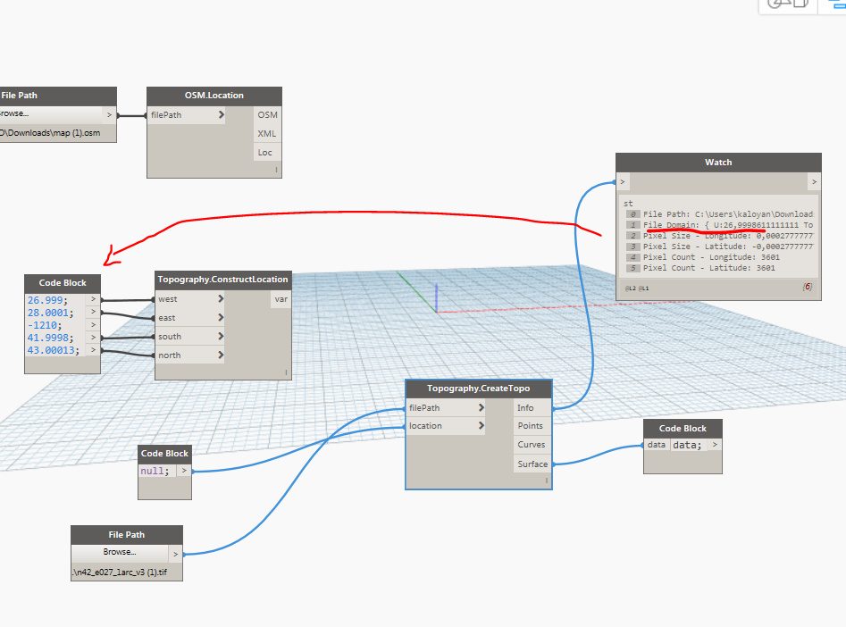
What he suggests is bascally if the node cant read the tif file directly, you can check the info output and create a domain, based on the data there. The tif seems legit - 25mb, downloaded it from earthexplorer
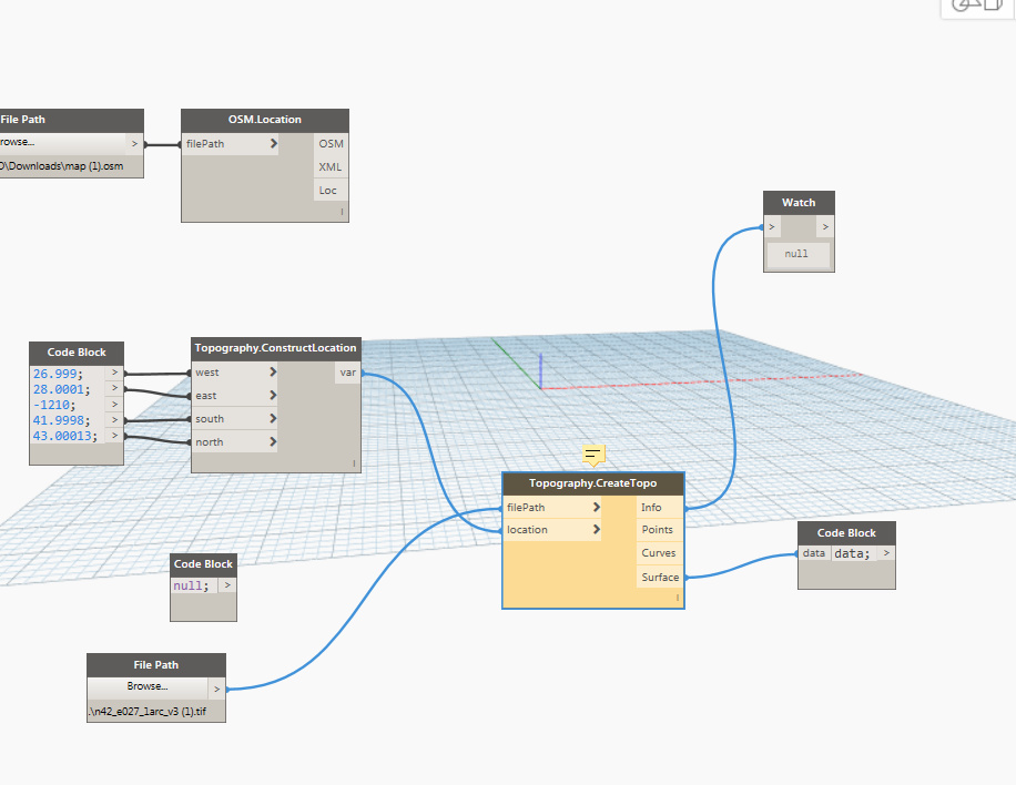
So here’s what I get, but no result:
Any tips?
Thanks
Kalo