Hi,
I am using the Dynamo Elk package. I was able to create the buildings as mass in Revit via Elk. Now I am using Dynamo to move buildings to their actual locations on the topography, but I can’t.
I tried to use the projection nodes like “Solid.ProjectInputOnto” to move building masses onto topography but that didn’t work out.
So I tried to move buildings’ point list to their actual location to create a polygon and extrude them.
Then I used “Surface.ProjectInputOnto” to move points list on topography. I also used “geometry translate node” with distance and z direction. But I wasn’t able to do that with them too, unfortunately.
I’d say the easiest way to achieve this is using ray bounces, assuming that is a topography in Revit. The Data Shapes package has a node for this with a category filter, try it out.
Get the min point of the bounding box of each building, then the ray bounced point and compare their Z values. You can then move each building by a Z vector of that size so it will sit at the topo level. Noting you will only be able to project them to one point of the building this way, so typically this would be centre with some edge points hanging over.
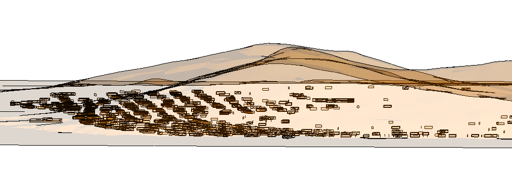
The main issue of transfering building masses onto topography is derived from the mesh file created from topography with Tiff extention. I’d like to change tiff file to a surface. But I couldn’t changed it.
If I could create polysurface from mesh file I guess I can solve projecting the buildings onto topography.
I transfered all files to rhino and apply some grasshopper files. those didn’t work out.
I have found a python code created for grasshopper. But I haven’t tried it yet.
Honestly I would do this in Civil 3D instead of Revit, as you will get better results in a lot less time. The current graph can be used with a few modifications - make a Civil TopoSurface instead of a Revit topography, and the building footprints (curves) can be pulled into the topography with one node and with a higher accuracy than what you would get with multiple conversions. These curves can be shifted below the grade by a bit, and lofted to the roof height to get a consistent mass, which can then be linked into Revit.
When you can utilize a specialized tool which is purpose built for a task, why not do so? It’d be like using the Generic Model class of Revit for your doors… sure you could, but why do the extra work?
I am downloading Civil 3D right now. There is no need for extra work or words definitely! Thank you and all of the contributors. And I guess I will continue asking my questions from the Civil 3D forum or blog since I have never used it before.