Hello! First time for me in this forum!
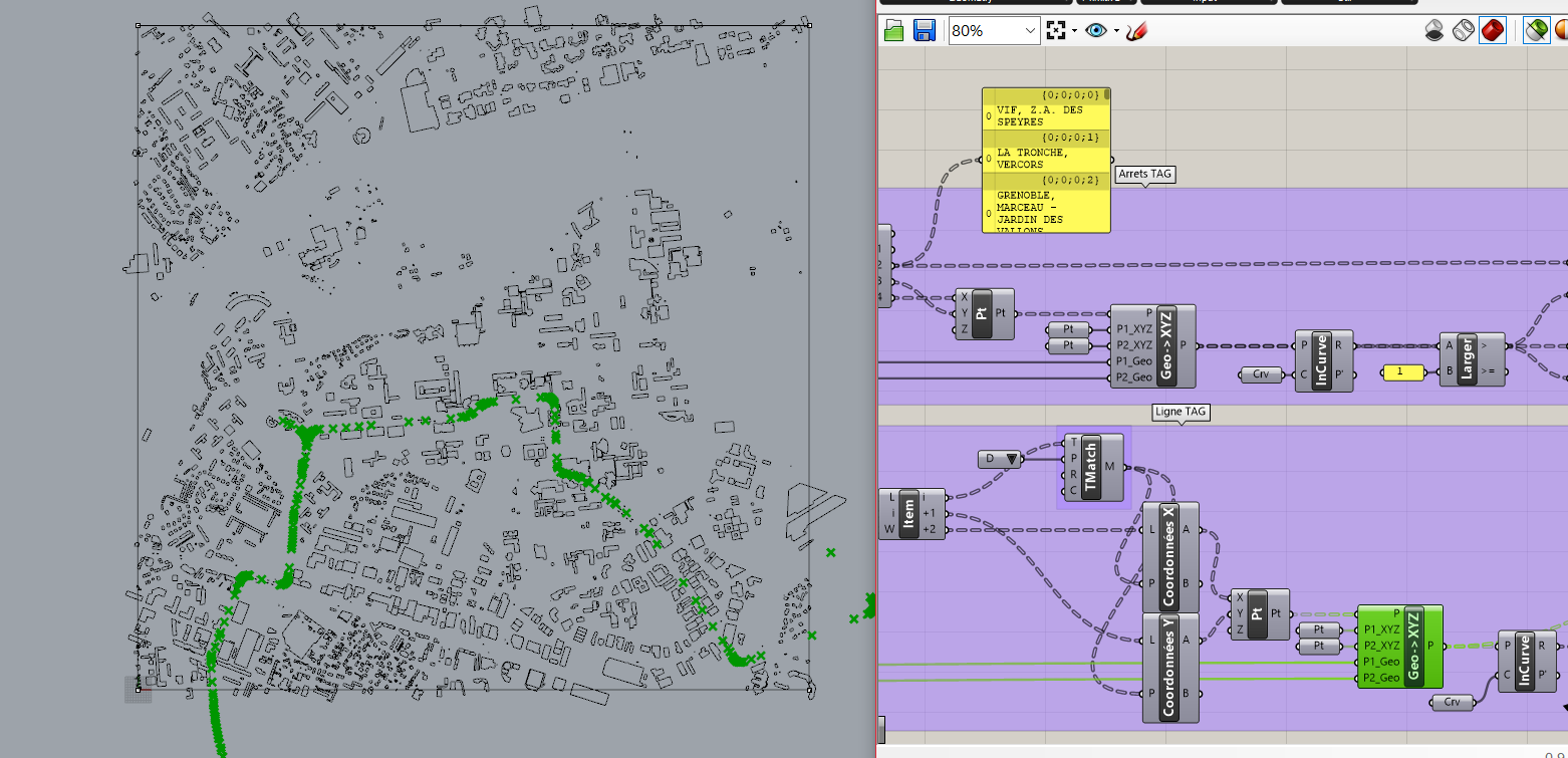
I’m trying to put some OpenData files in a plan made with the plugin Elk. In this way, I could track some public transport lines and stops, that are importants for my work. The data are in WSG84 coordinates and the problem is that I don’t know how to transform them in XYZ coordinates.
I’ve just made this in Grasshopper using a plugin called gHowl and some points on Rhino, but this is not possible in Dynamo. Does anyone know a way to solve the problem?
ThanksOpendata_to_OSM.dyn (52.0 KB)